The Surroundings of Monte Grimano Terme
Significant transformations have also shaped the hamlets of Savignano Monte Tassi and the scattered settlements throughout the territory, including Ca' Secco and San Donato. The hamlet of Montelicciano has become increasingly populated and important due to its location along the provincial road that leads from Cattolica to the neighboring Republic of San Marino.
Around the historic core, after the Second World War, the old country houses almost entirely disappeared: some were rebuilt from the foundations, others were transformed into something else, and many slowly but inexorably vanished year after year. Those remaining as ruins will unfortunately meet the same fate, such as “Combarbio” on the hill to the right of the Conca River, the buildings of “San Leo” near Monte Tassi, and those of “Ca' Pesatore” on the hill above the solitary little church of Soripe.
Today, the main town is characterized by modern small neighborhoods consisting of villas, guesthouses, and hotels, some of which have been converted into residences.
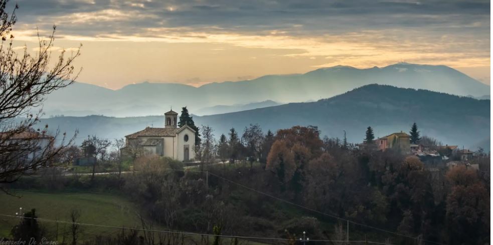
Very few historical vestiges remain in these territories, but those of Monte Tassi are noteworthy; once a fortified castle, it is now a panoramic viewpoint in the shadow of the ancient parish church of San Giovanni Evangelista. The altitude, from just over 200 meters along the Conca, reaches 864 meters at Monte San Paolo, the solitary height in front of the city of San Marino, characterized by grazing cows and flocks, shady woods, and pine forests, where the entire municipal territory converges.
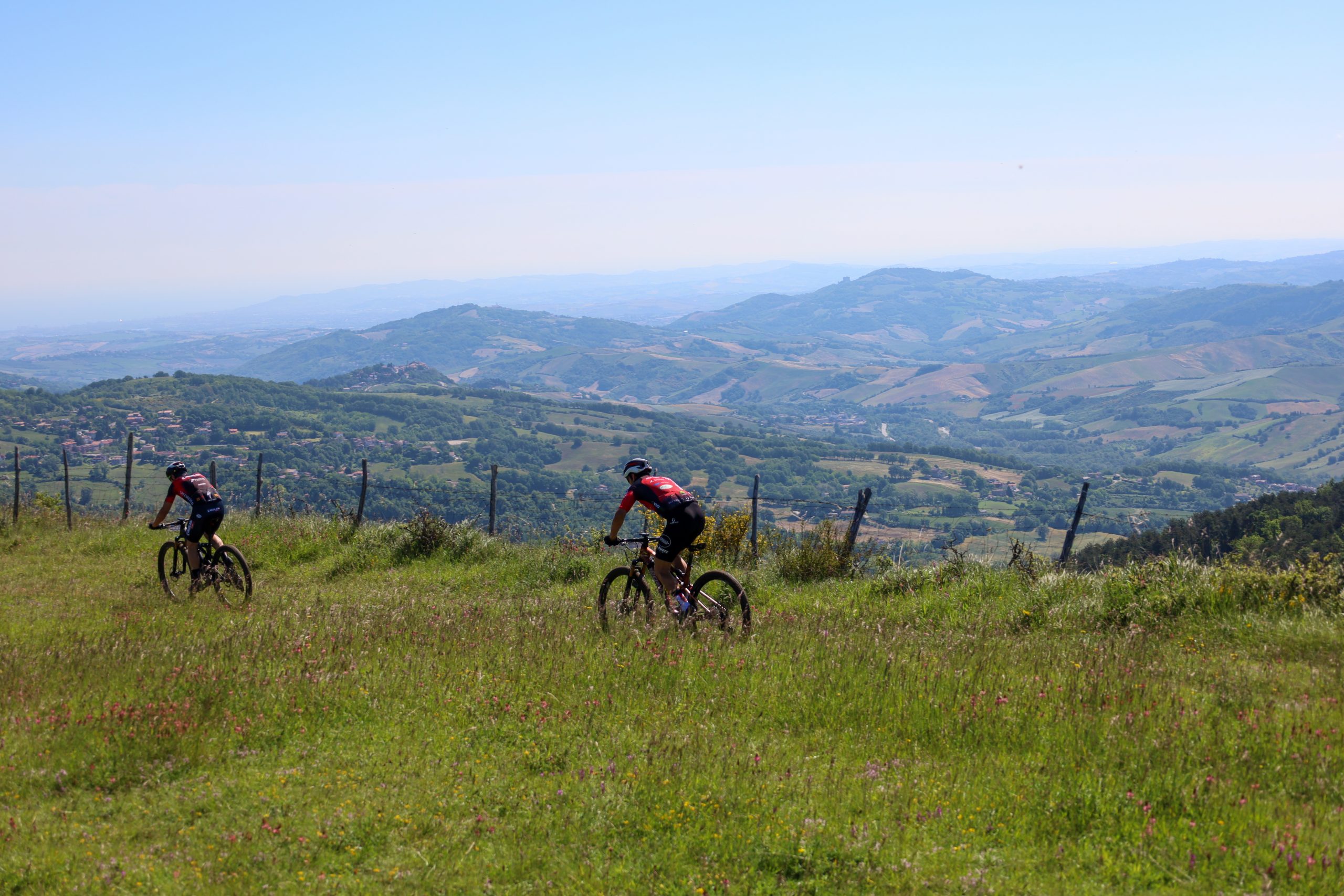
On clear days, the view from here spans the entire coast, from Cesenatico to Pesaro, and from the Tuscan–Umbrian–Marchigiano Apennines to Urbino, Montefiore Conca, and Gradara. The rest consists of the typical Montefeltro hillside characterized by valleys and heights, each with different characteristics from the others. In our case, they are literally covered by the green of woods, wild hedges, and gardens. A flora that almost protects and encloses the numerous small inhabited nuclei and scattered houses. Here, there are some modern farms, especially for cattle, many of which are moved to high pastures during the good season.