SAN DONATO
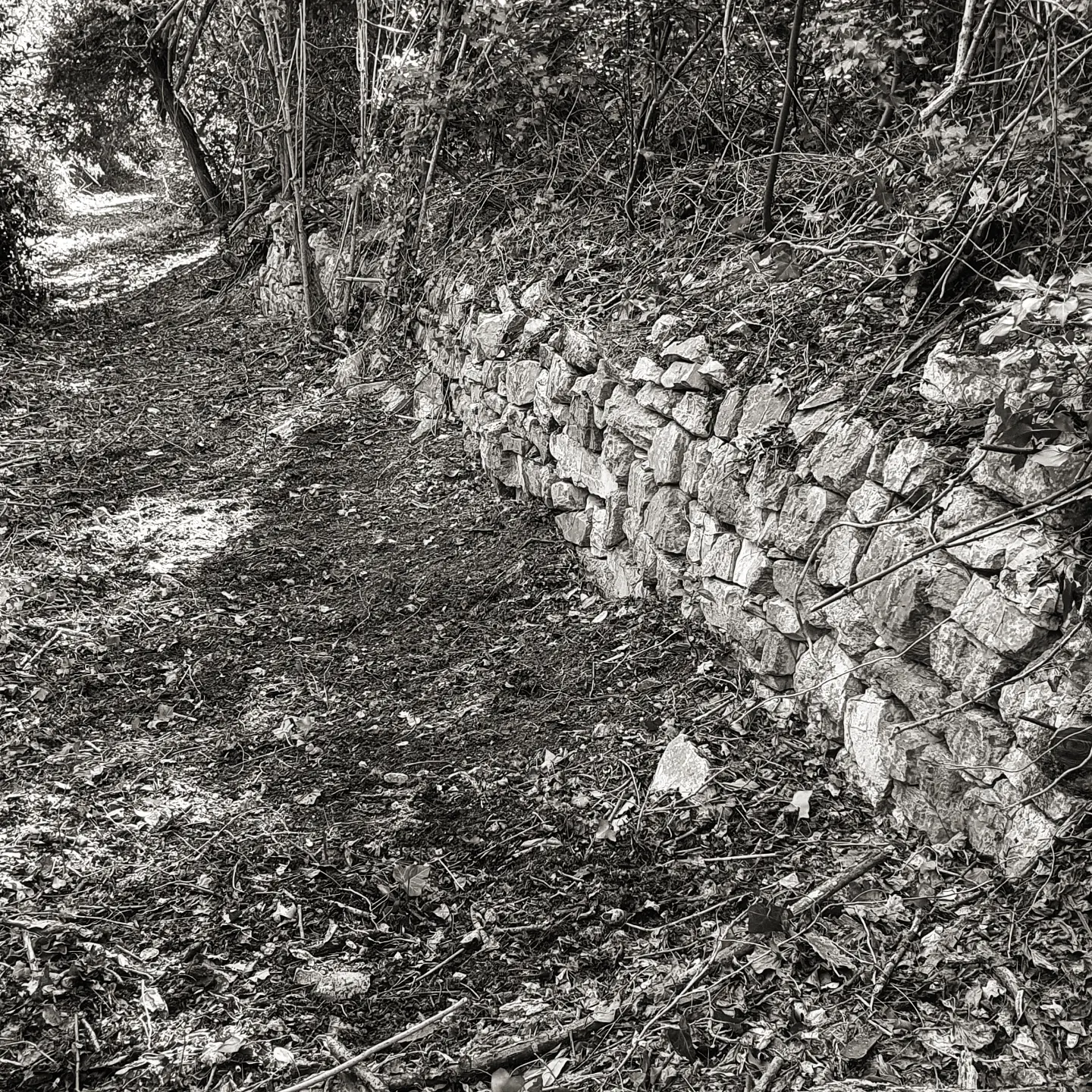
Lungo il sentiero sono ancora visibili i muri a secco d’epoca che delimitavano il percorso dalle proprietà terriere. Fotografie dei primi del ‘900 mostrano che un tempo non c’era tutto il bosco attuale, ma prati coltivati che caratterizzavano il paesaggio.
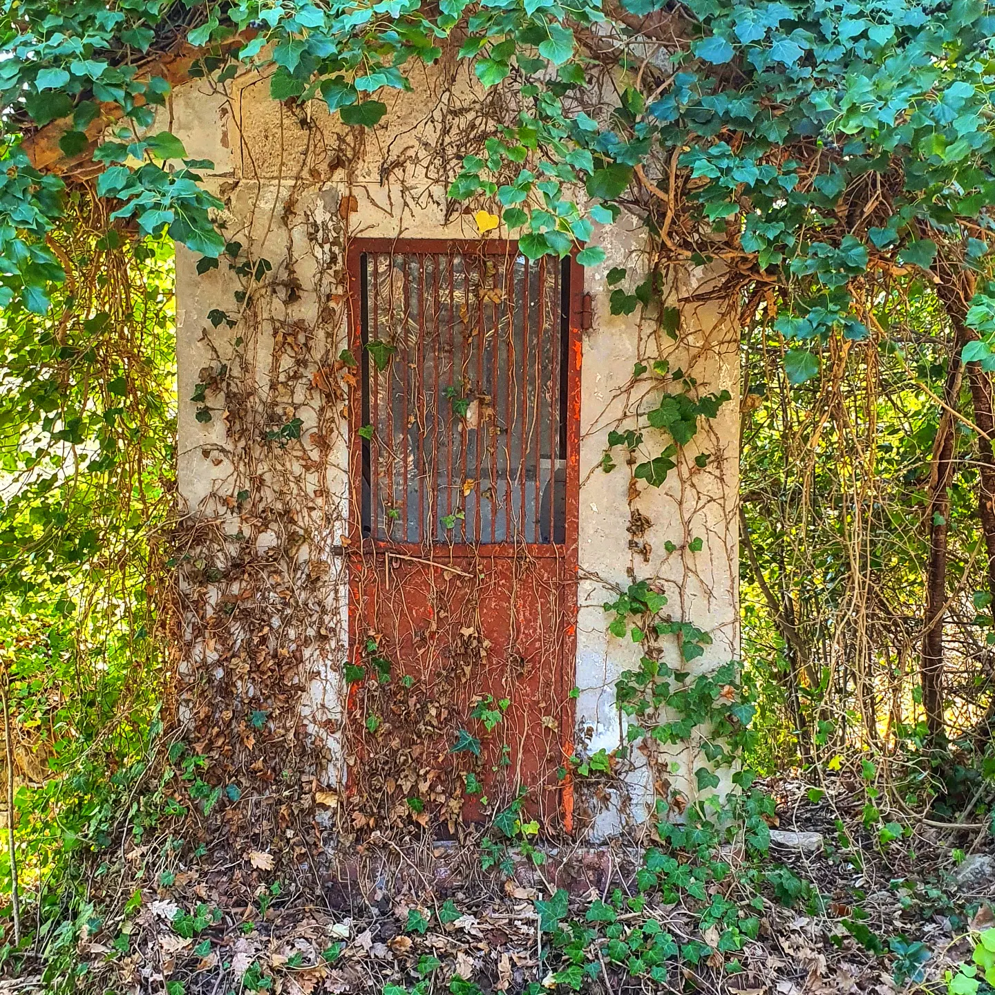
The first part of the route requires particular attention, as it features a rather steep descent, both for pedestrians and cyclists. The path goes down for about 400 meters until reaching an ancient ruined village with a small chapel still clearly visible.
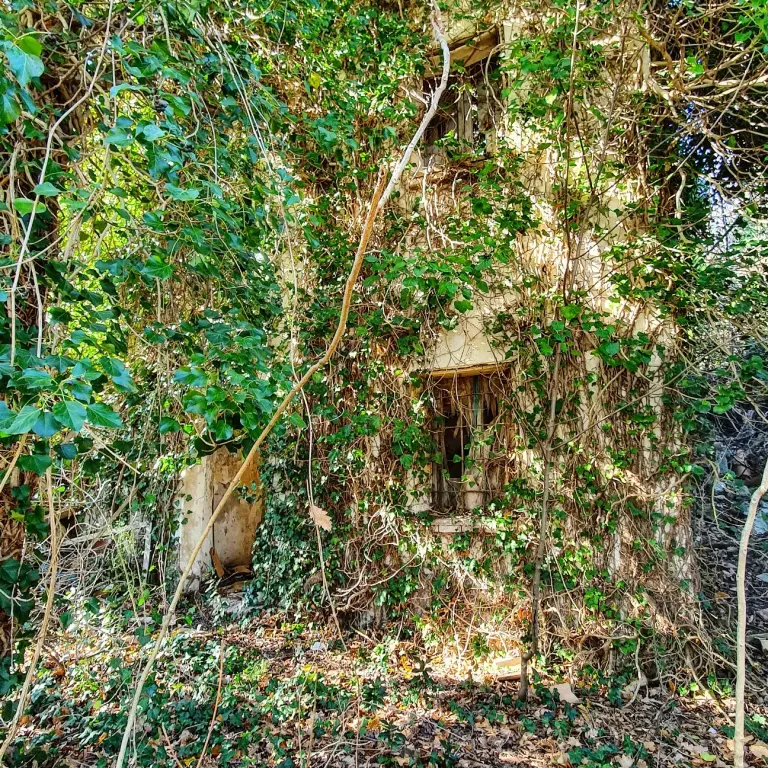
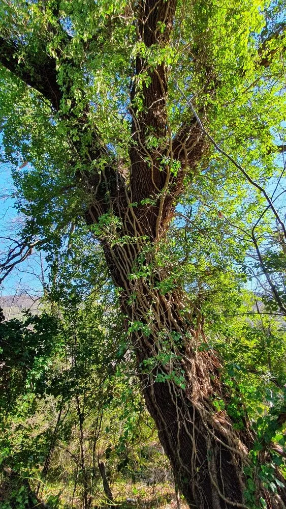
This was part of the old settlement of San Donato. Some houses are still standing, but they are very unstable. Near the chapel stands an immense oak tree, estimated to be around 500 years old, a silent witness to the history of the place.
Along the trail, the dry stone walls from that era are still visible, which once marked the boundaries of the land properties. Photographs from the early 1900s show that there was once no forest as there is today, but cultivated meadows that characterized the landscape.
Multimedia